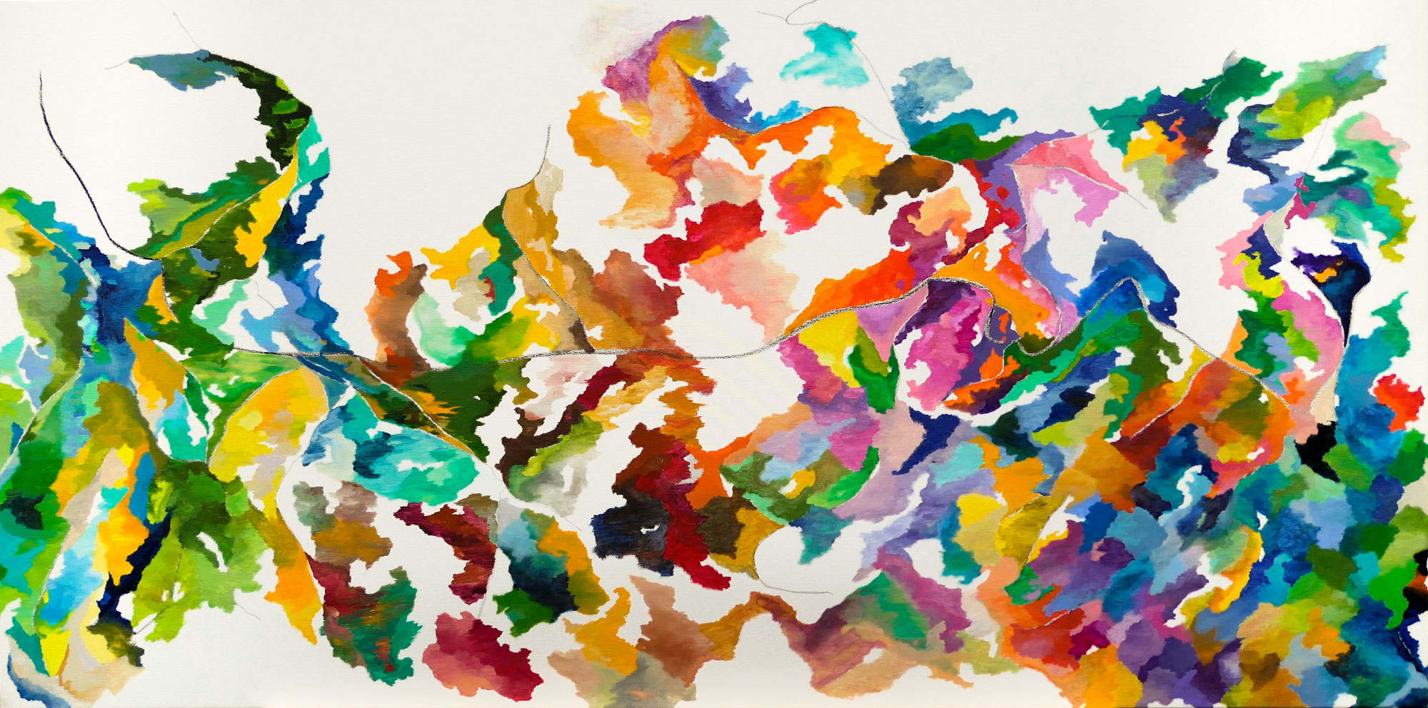
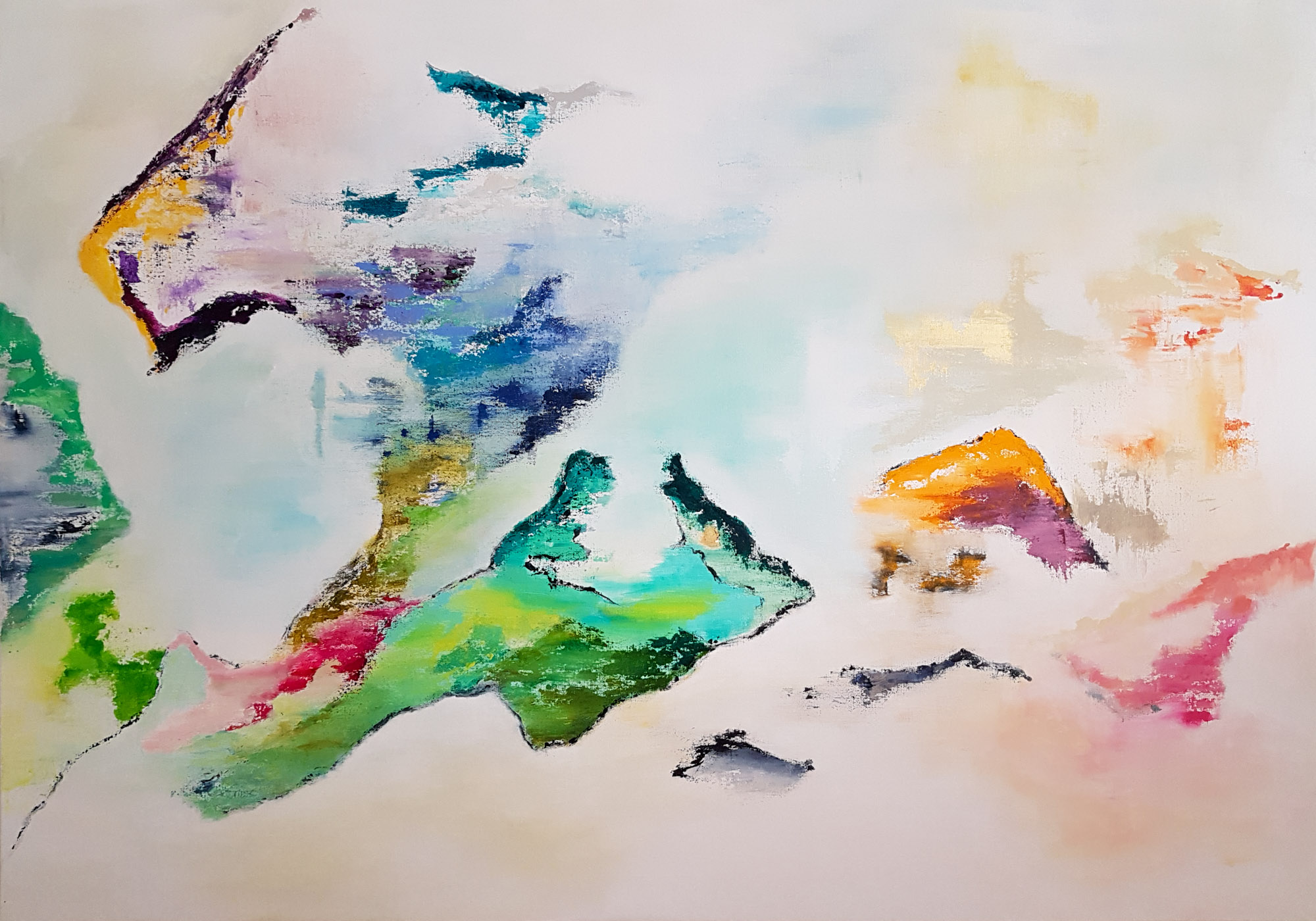
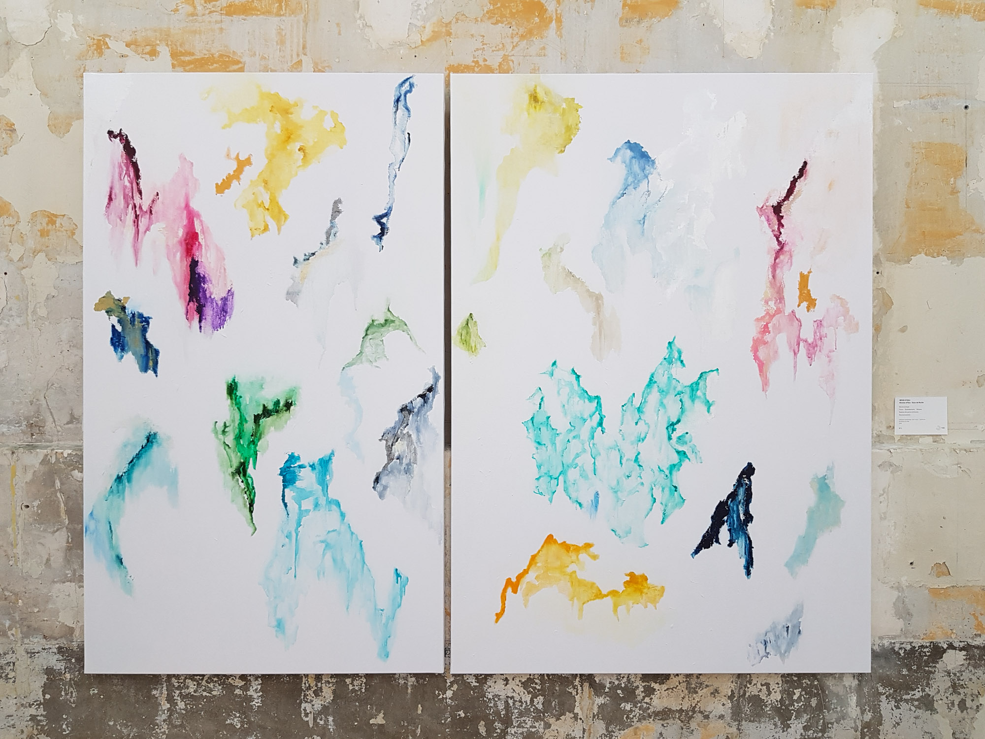
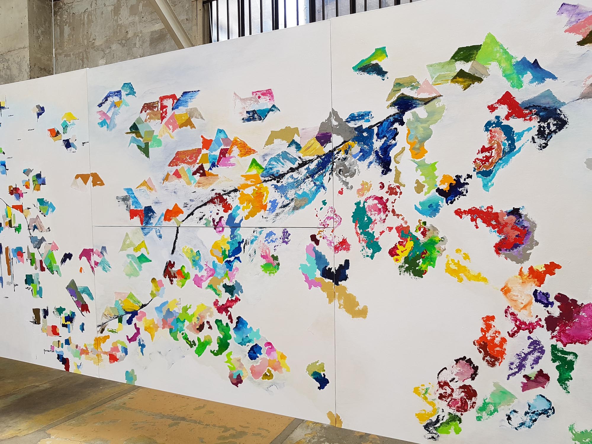
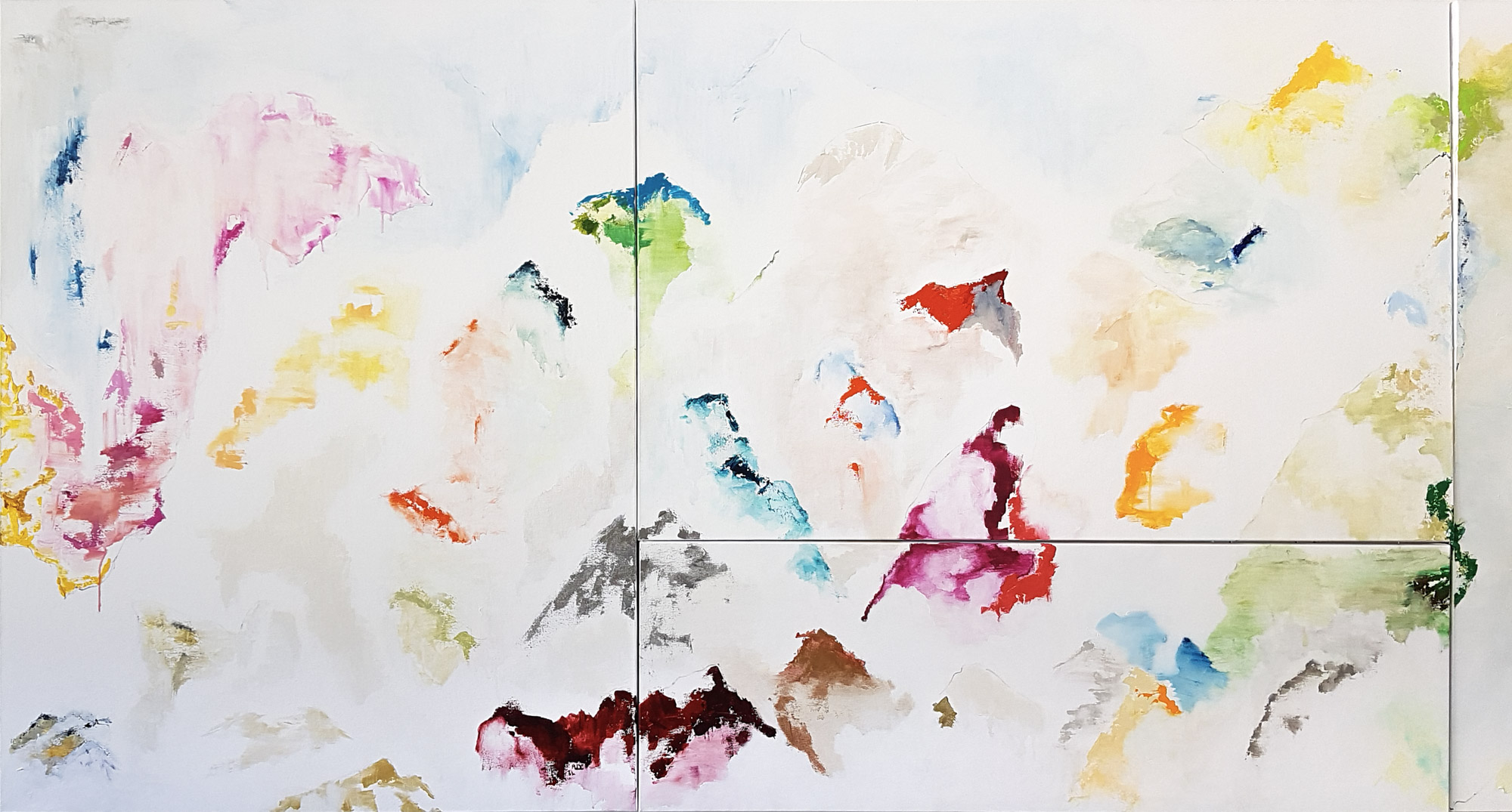
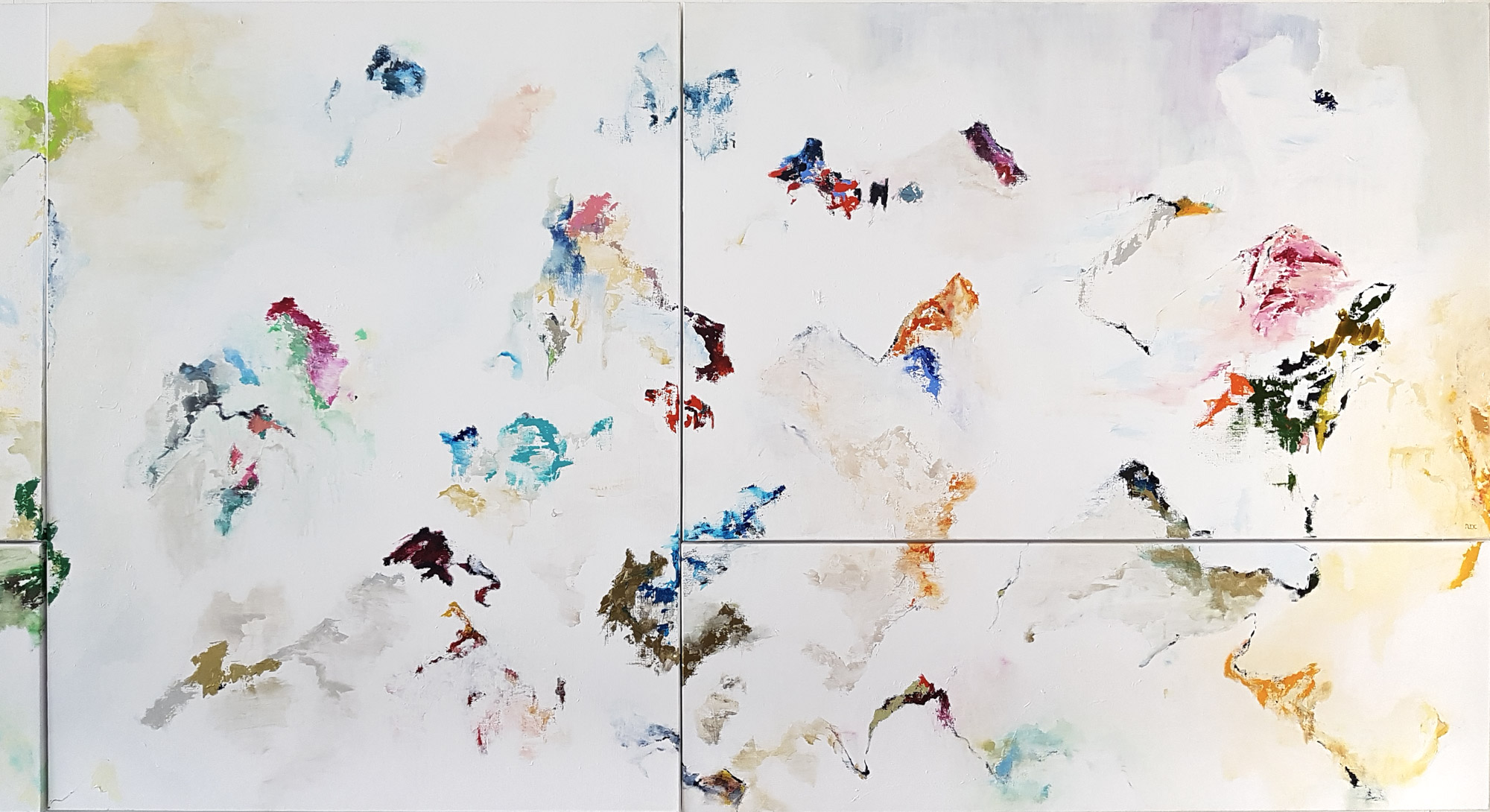
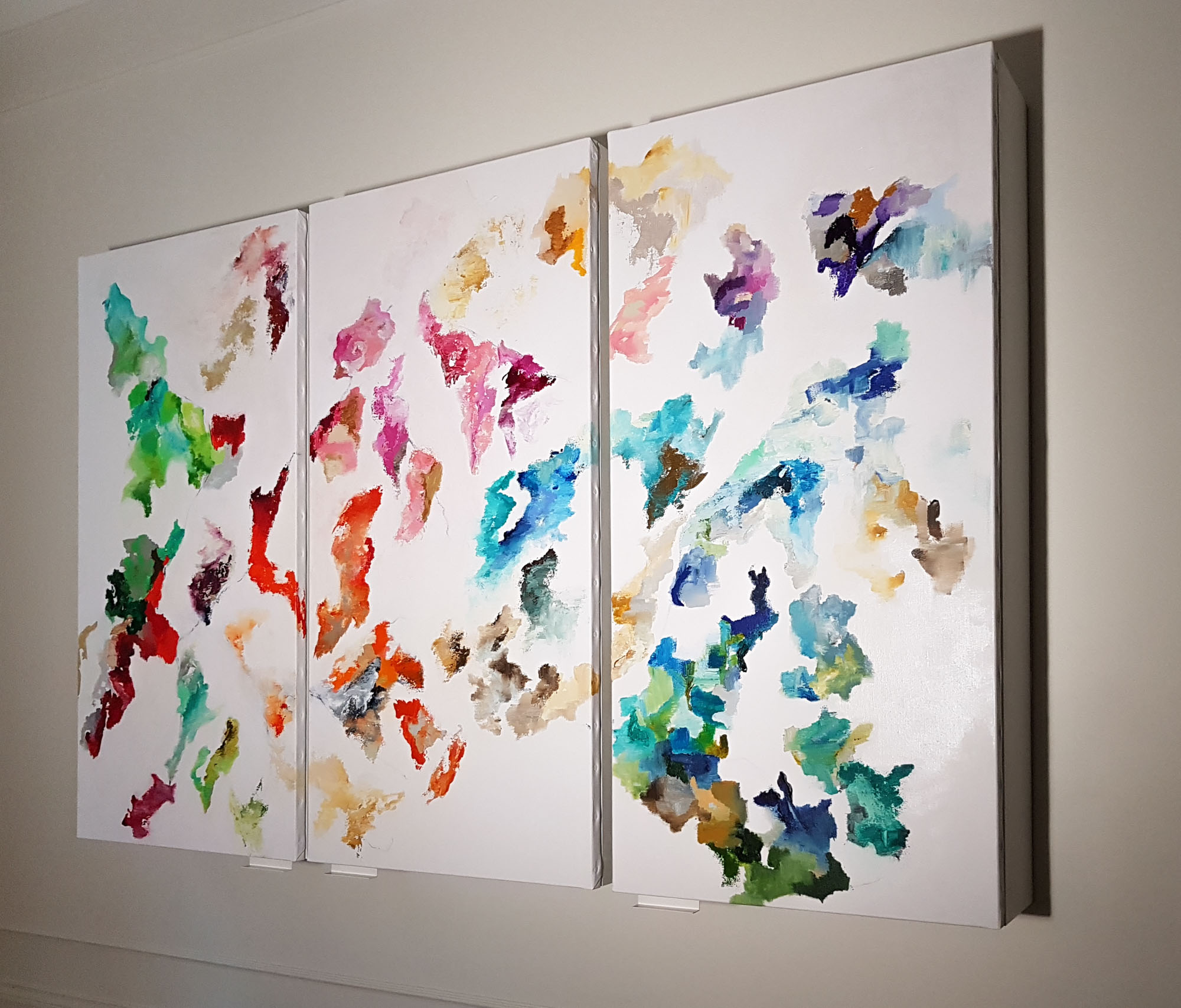
The framework of these mental maps blends real context, research, imagination, and artistic interpretation.
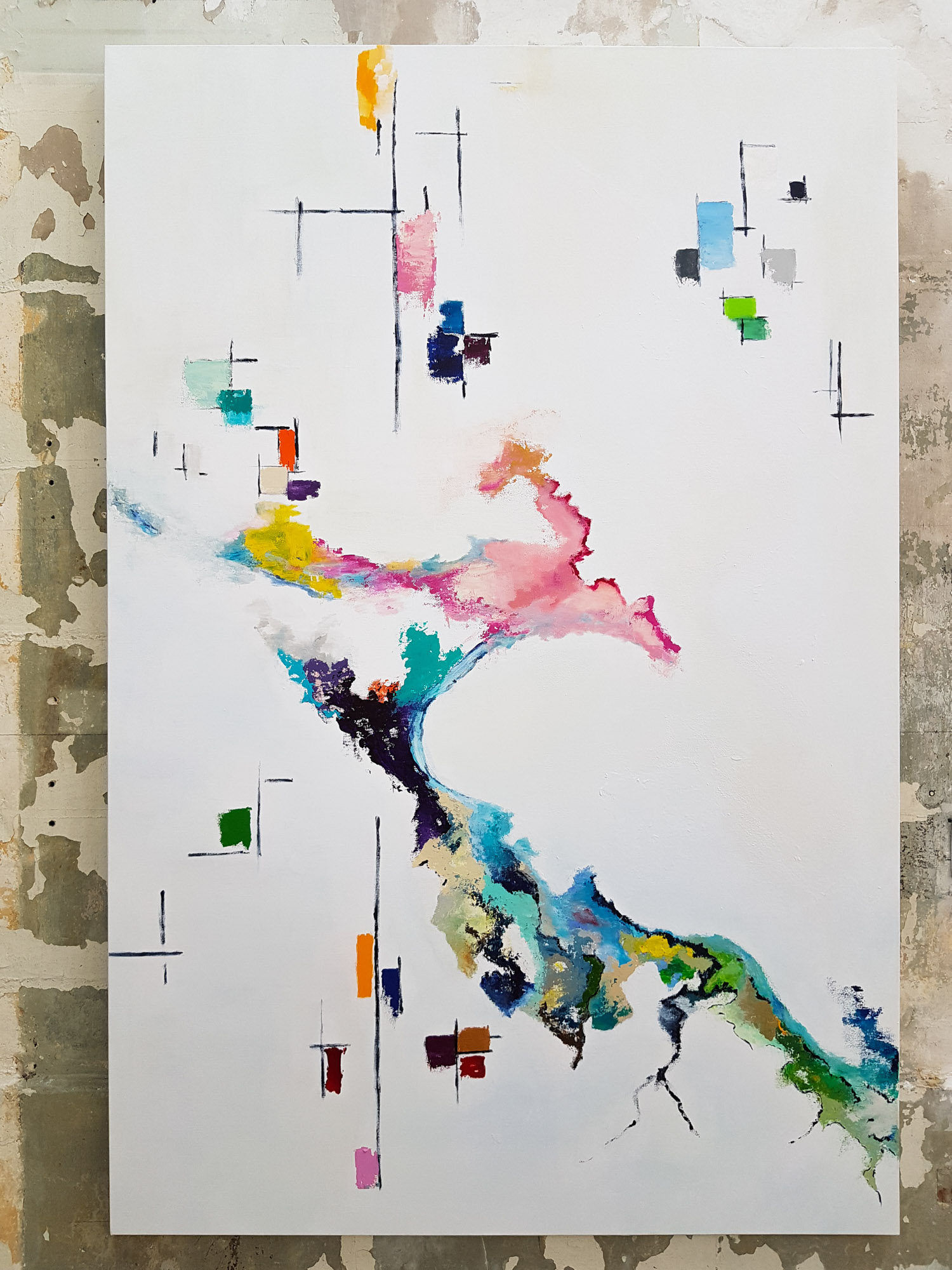
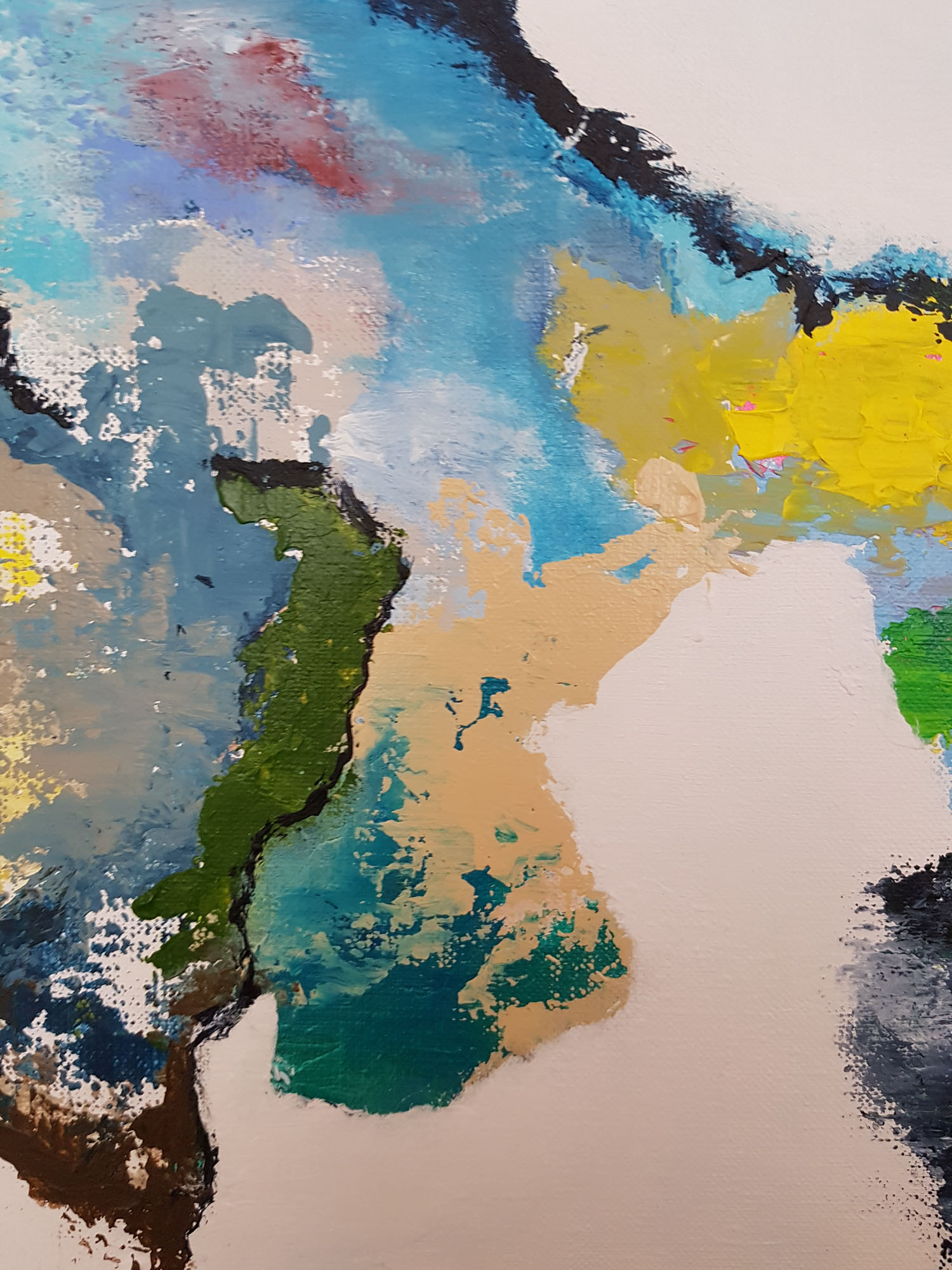
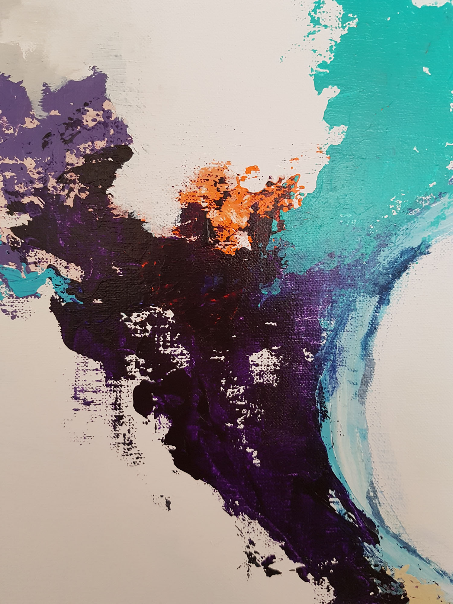
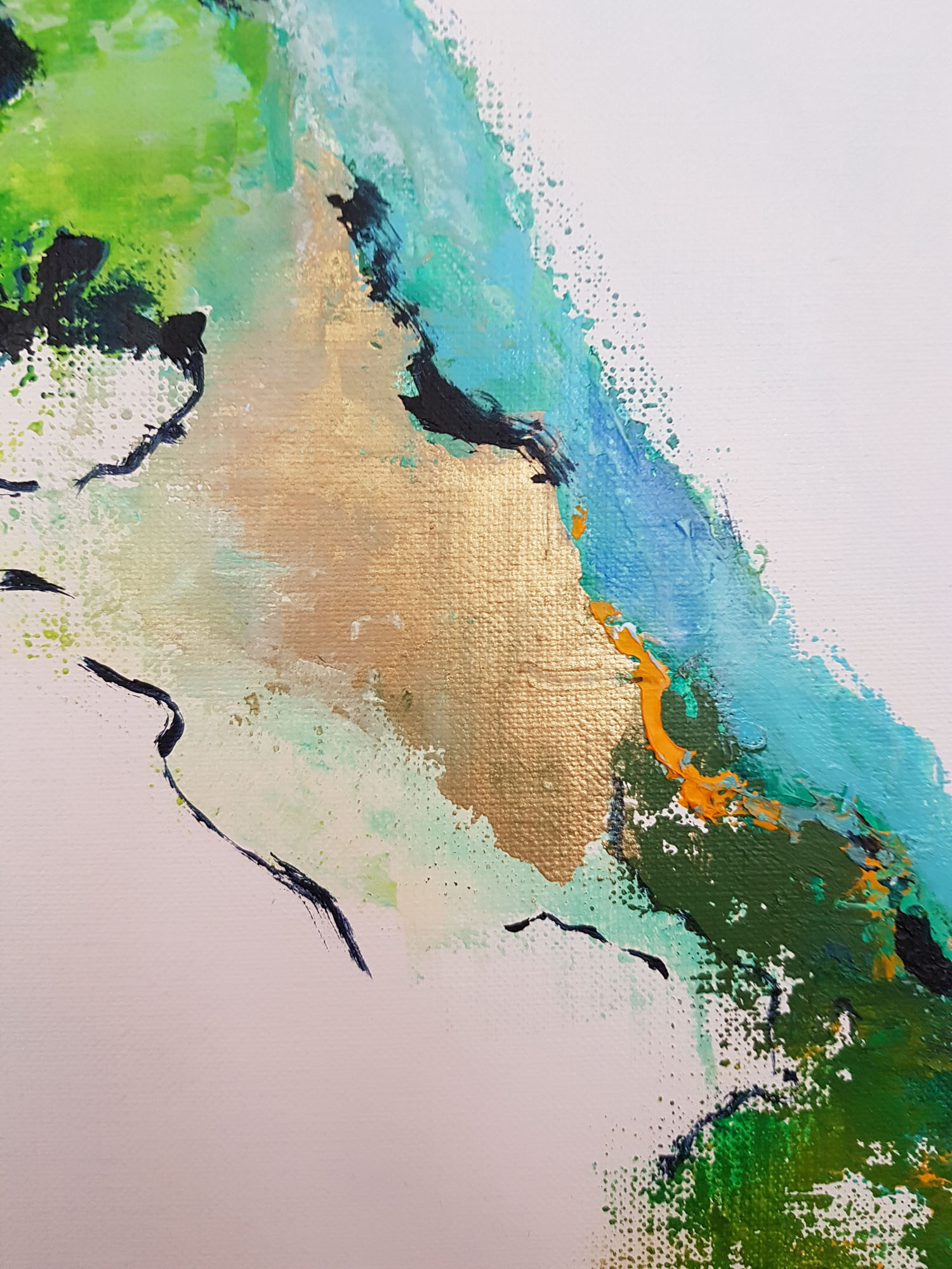
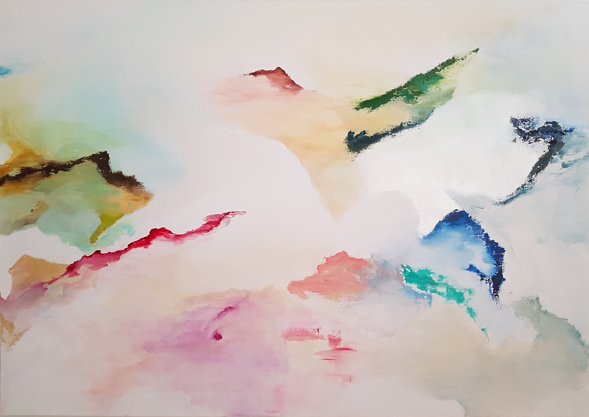
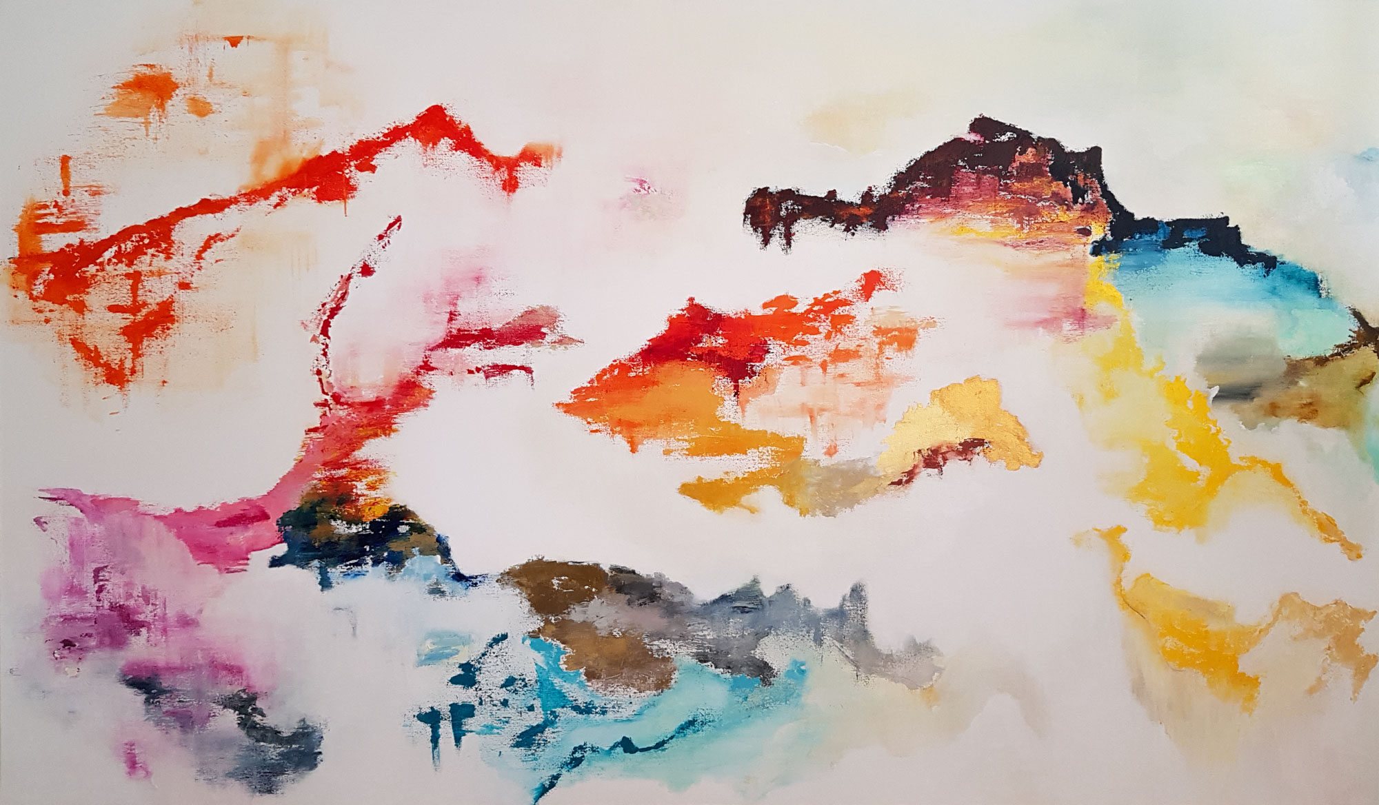
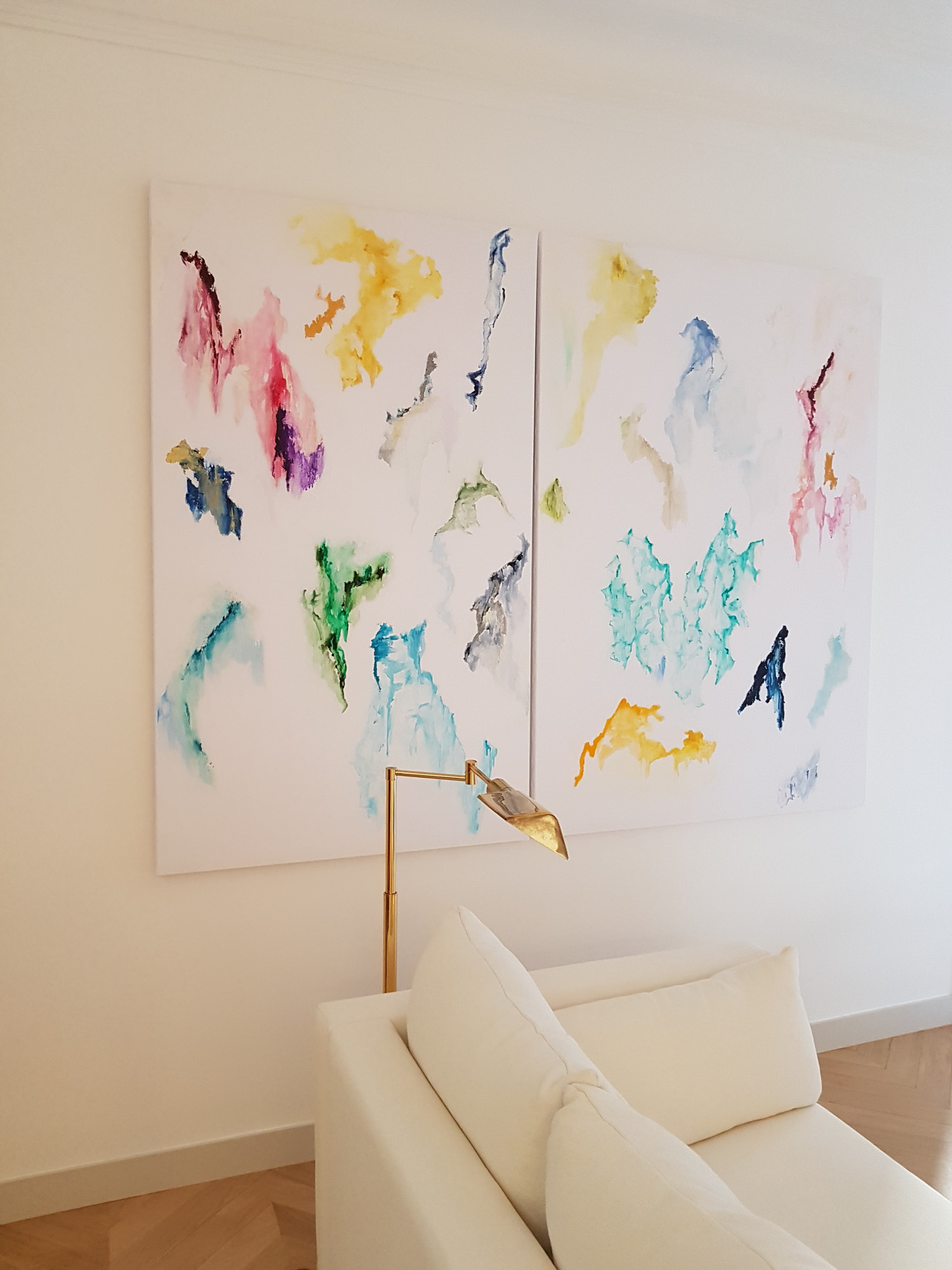
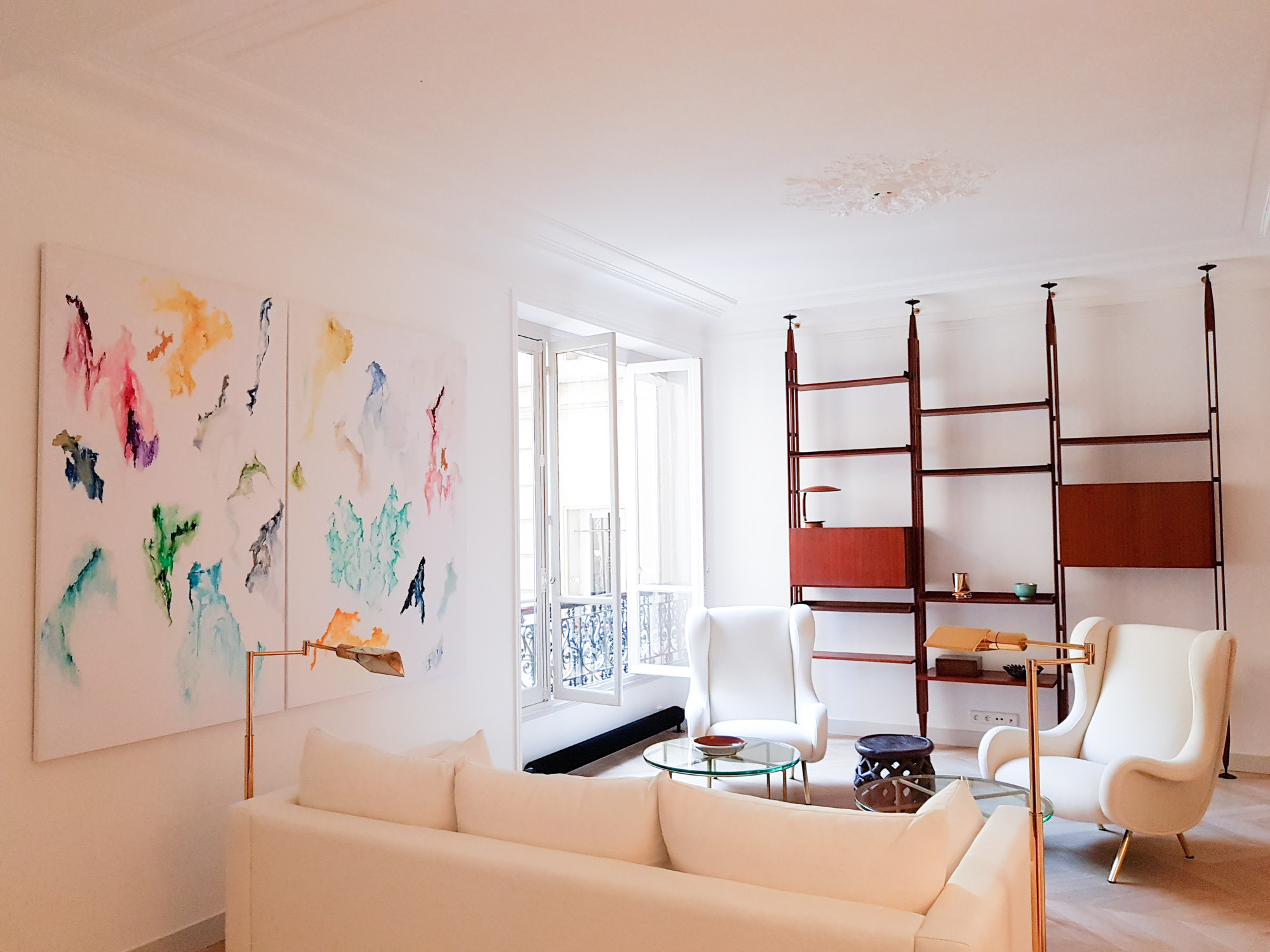
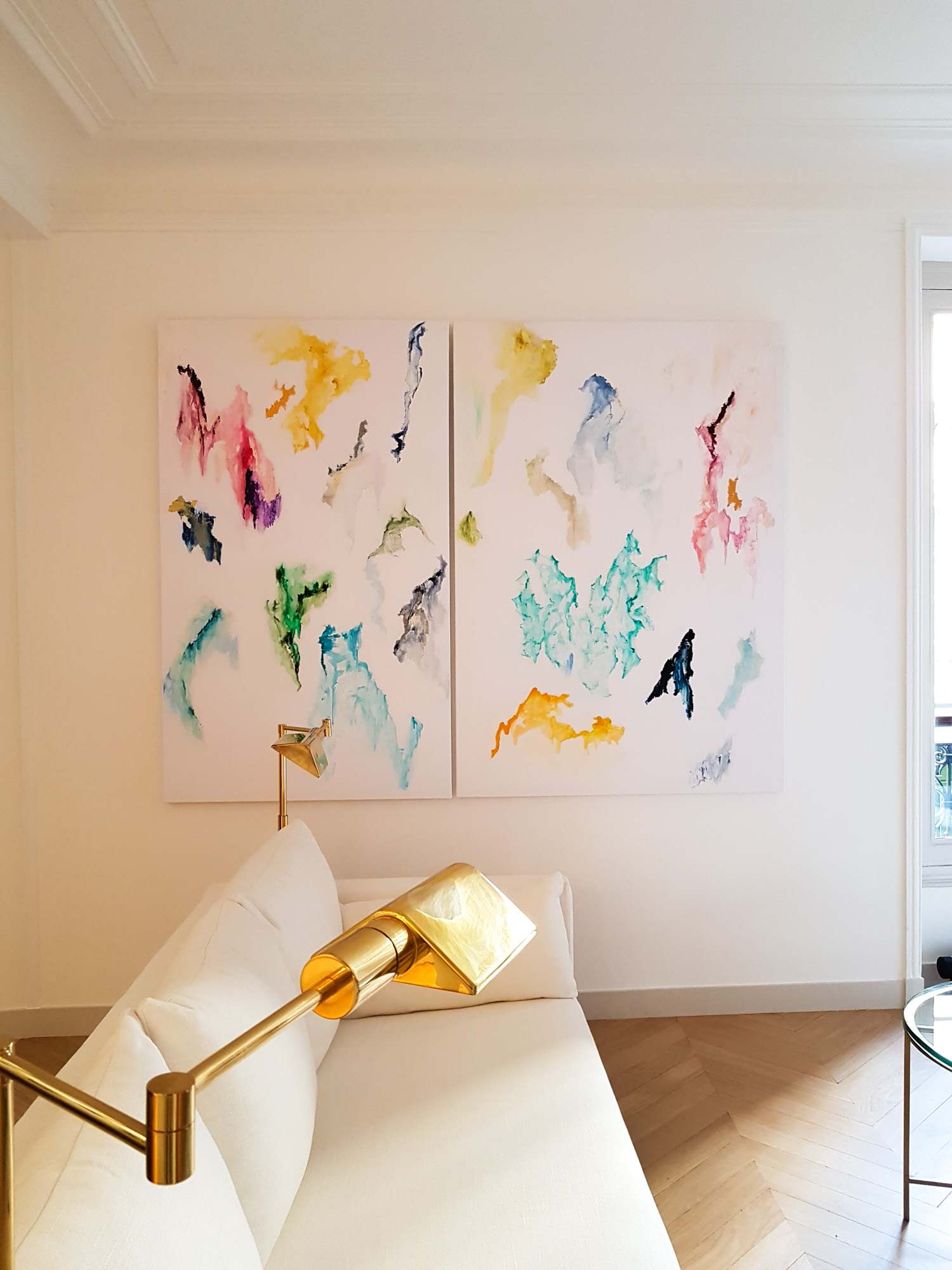
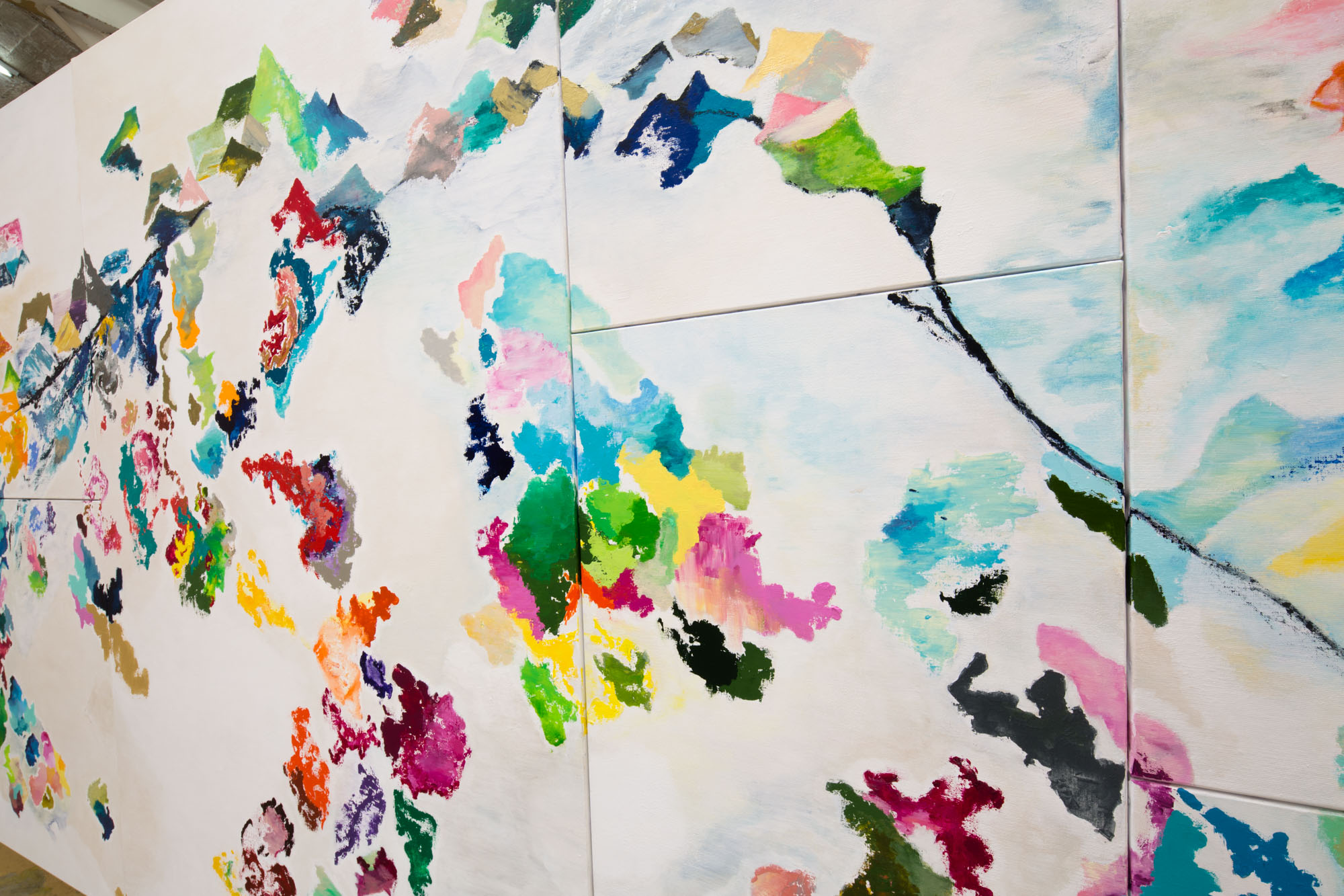
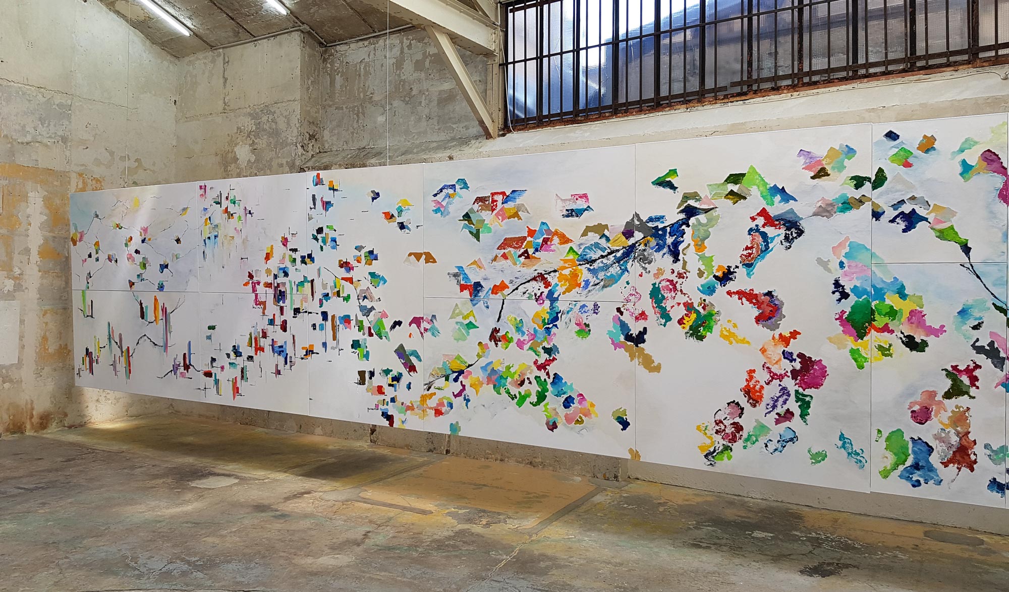
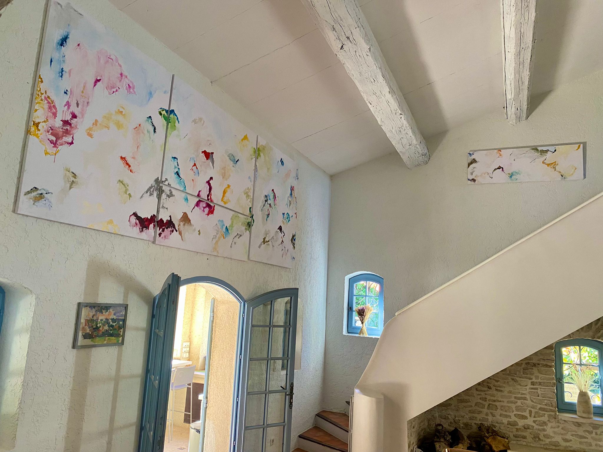
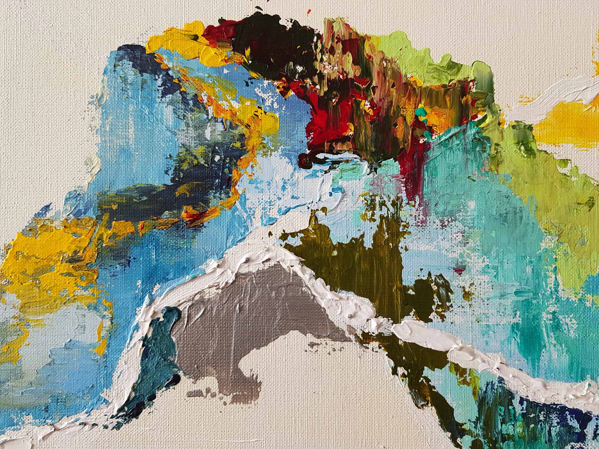
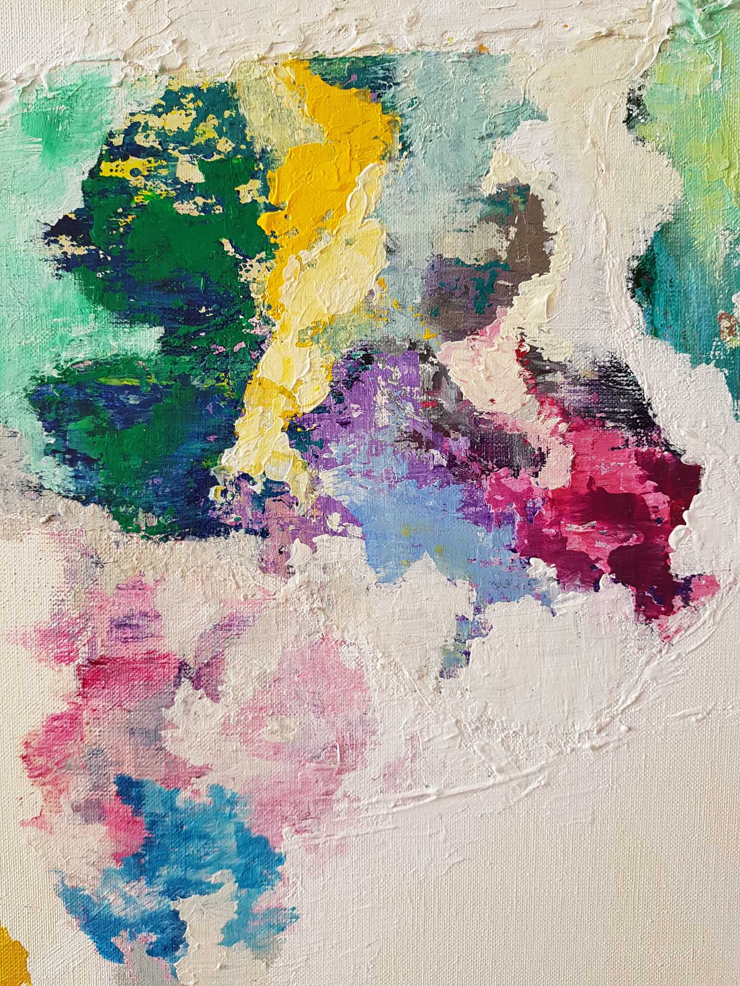
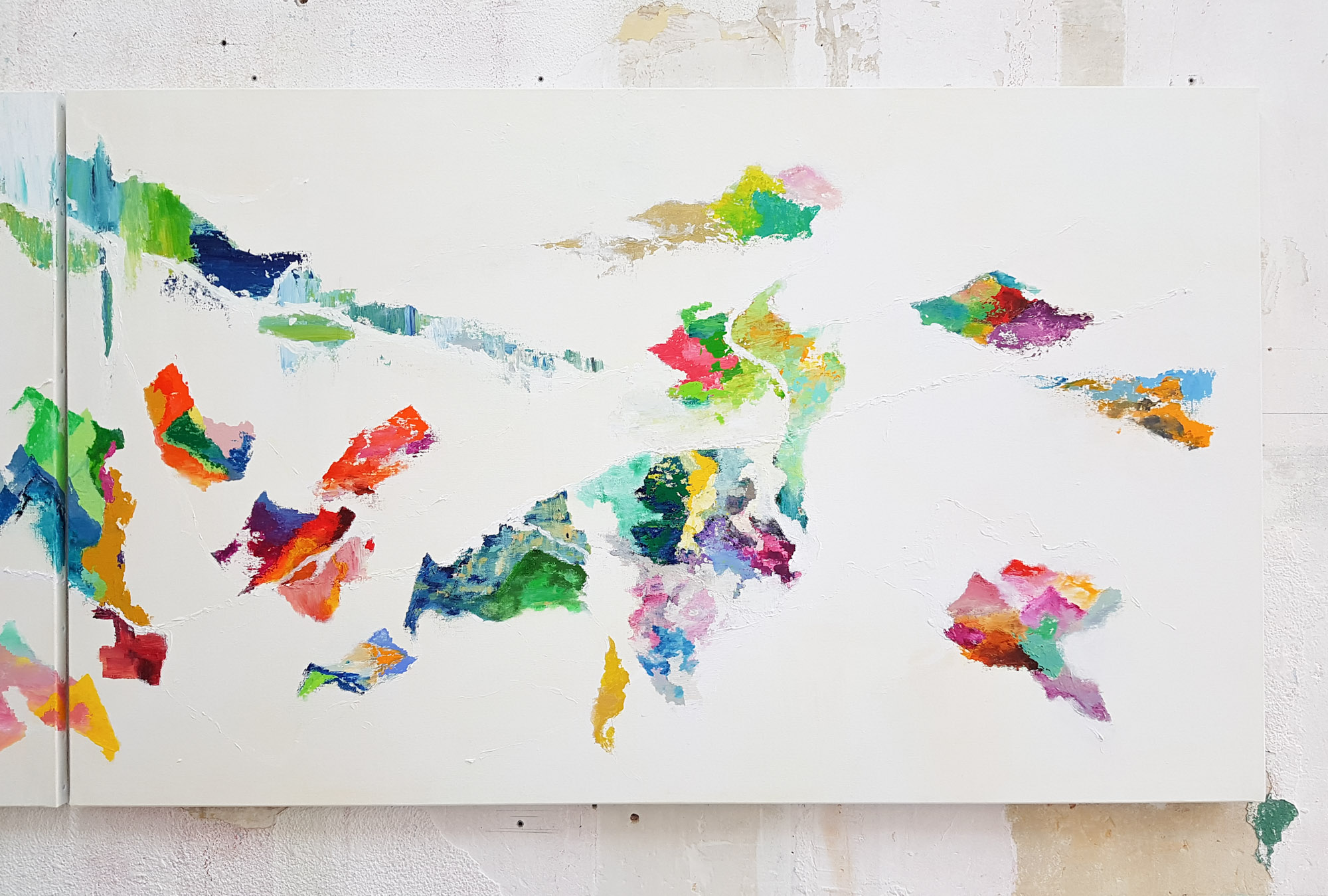
The paintings, like illustrated maps, are structured by lines, trajectories, and paths that connect different places, linking the city to nature.
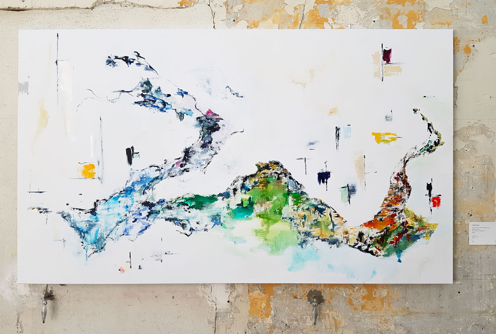
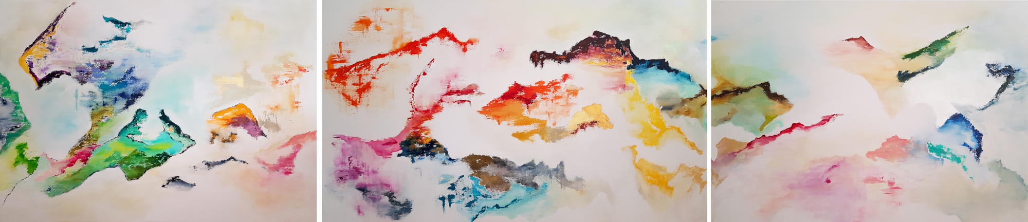
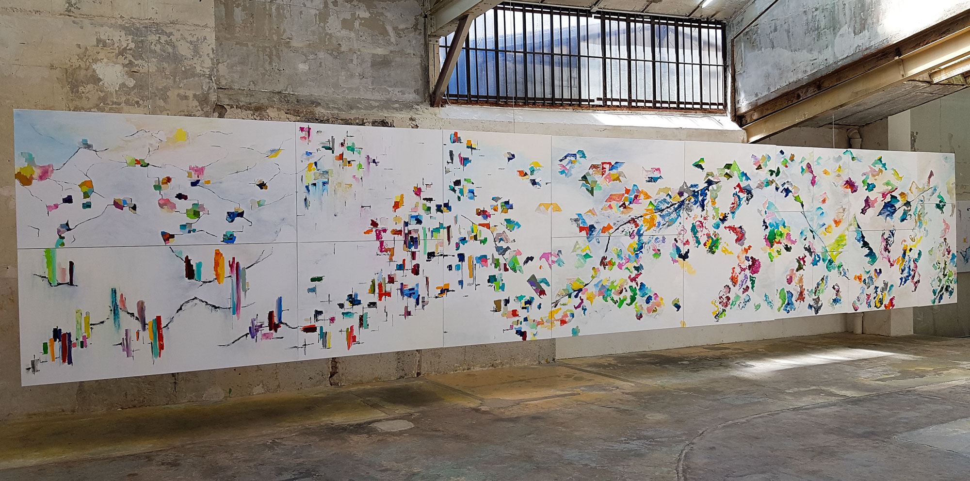
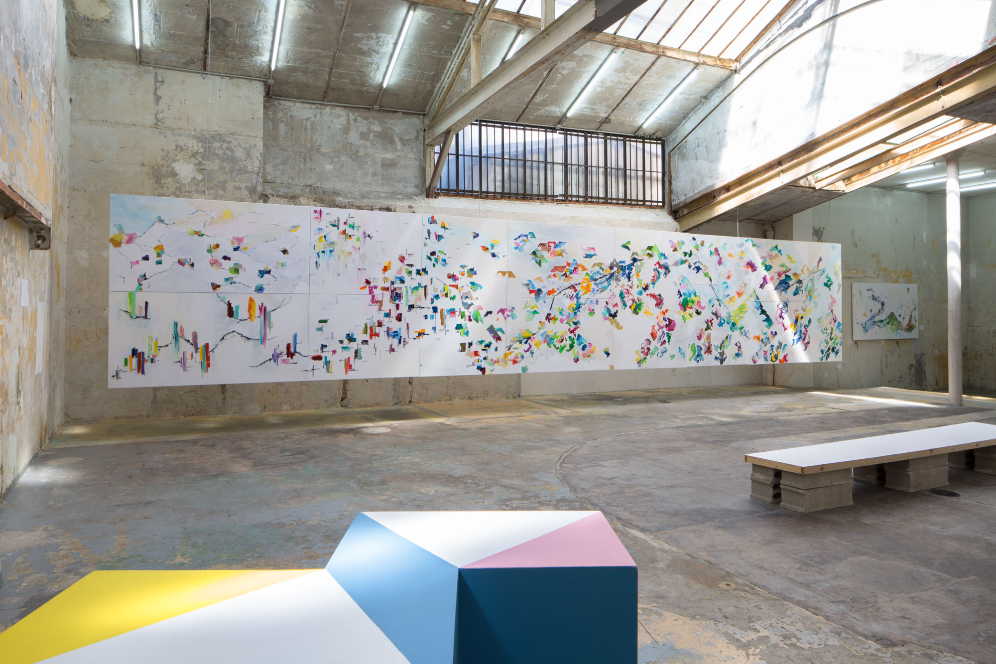
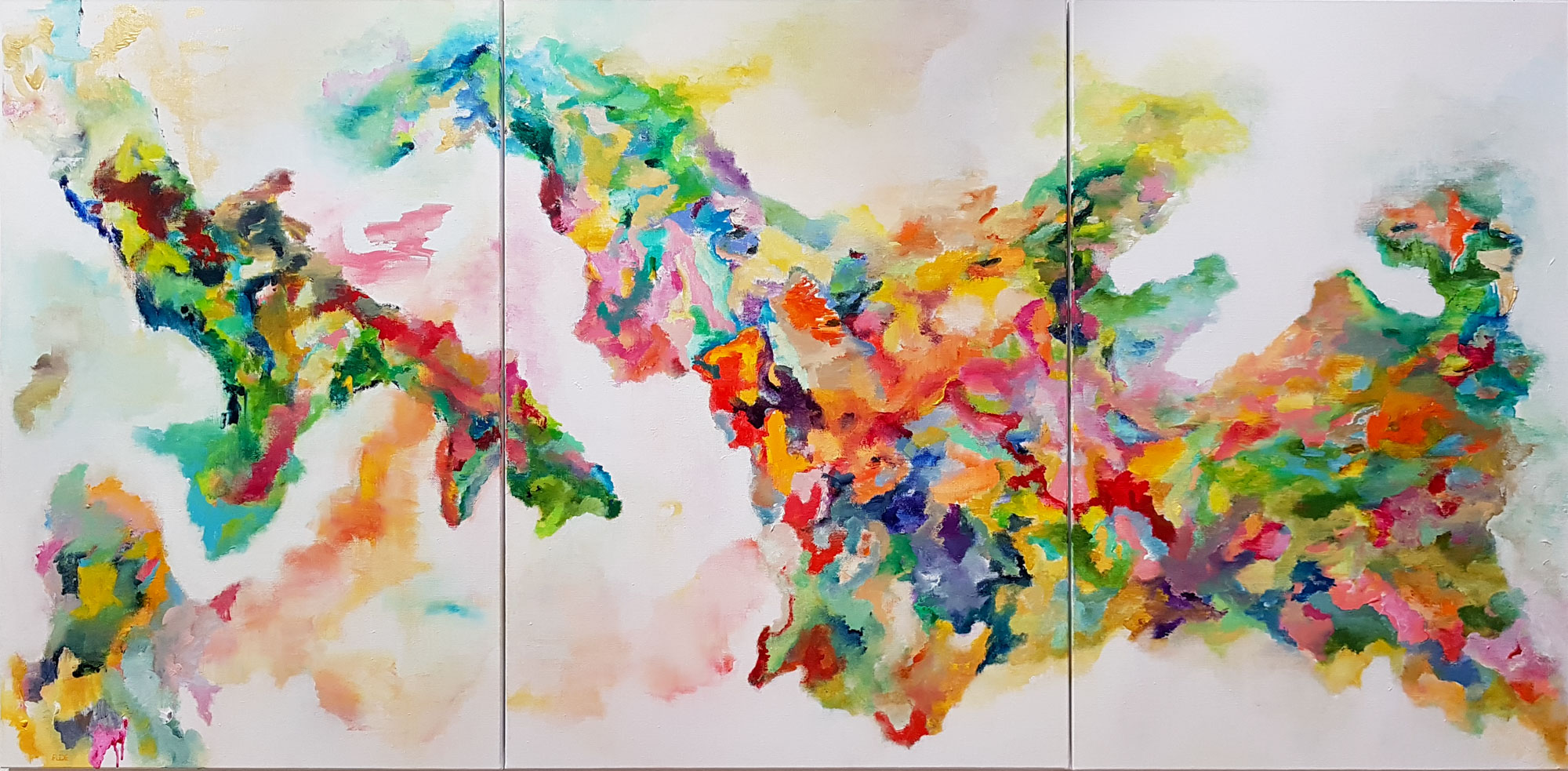
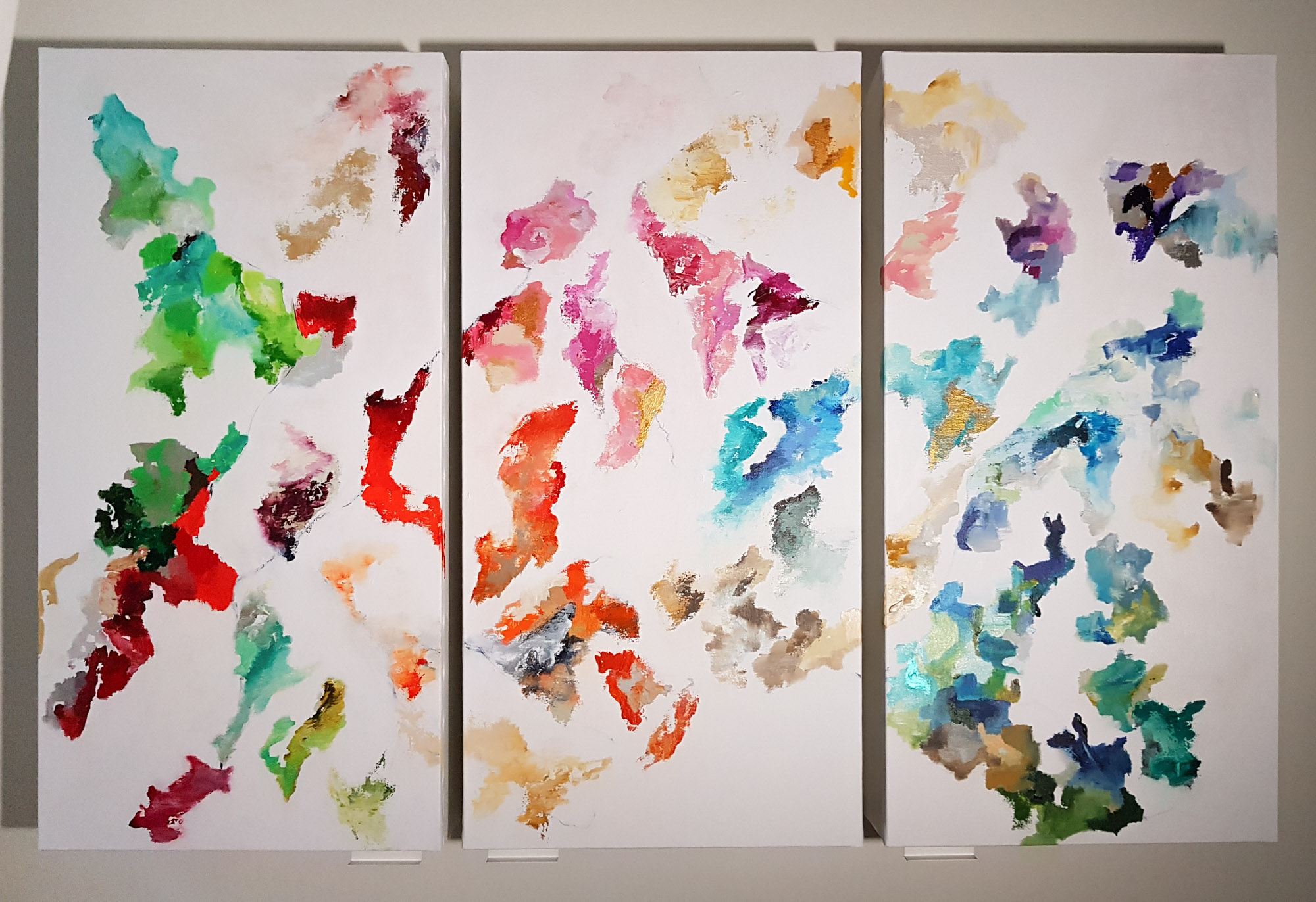
I interpret urban grids (Chandigarh city map), compose cities (Water town), depict journeys (The road to Nantes), and unfold narratives in which architecture and nature engage in dialogue (Récital A16, 11m polyptych) or draw on archival documents (a portolan chart for Marseille map, a historical map for The tea route) and aerial views.
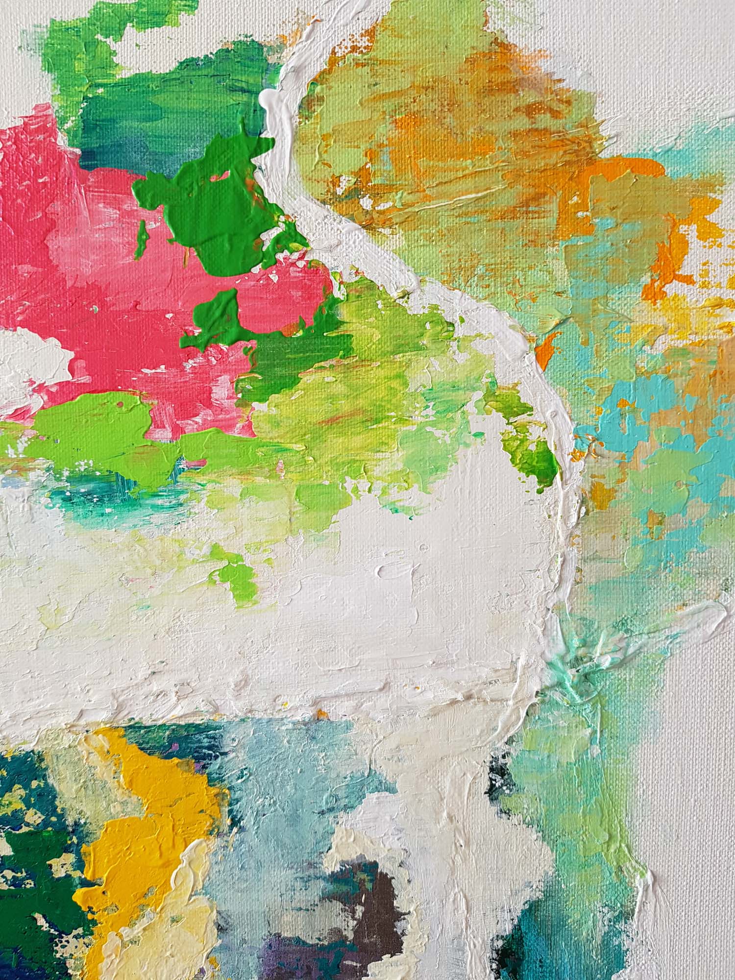
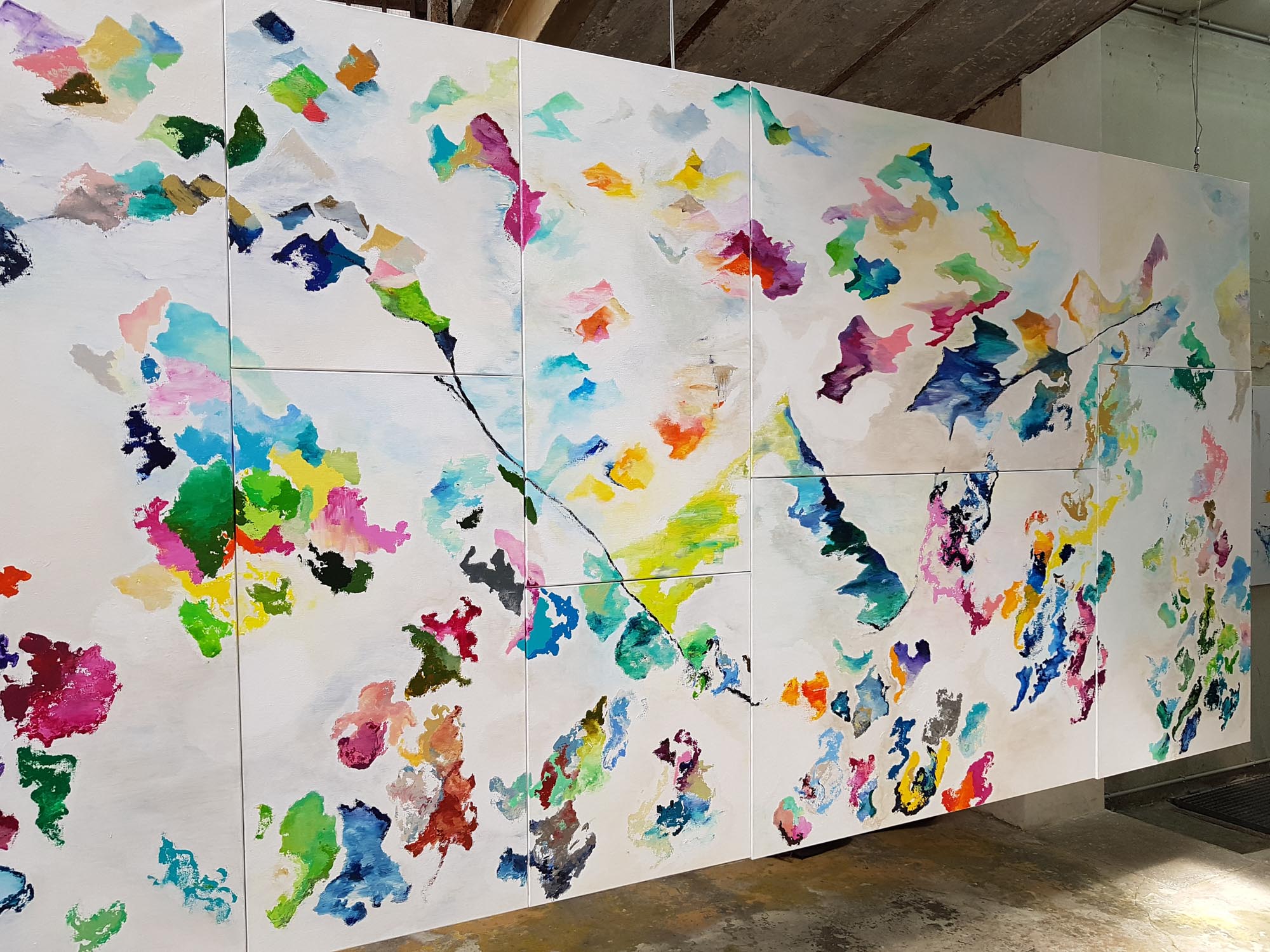
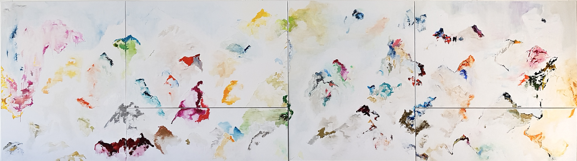
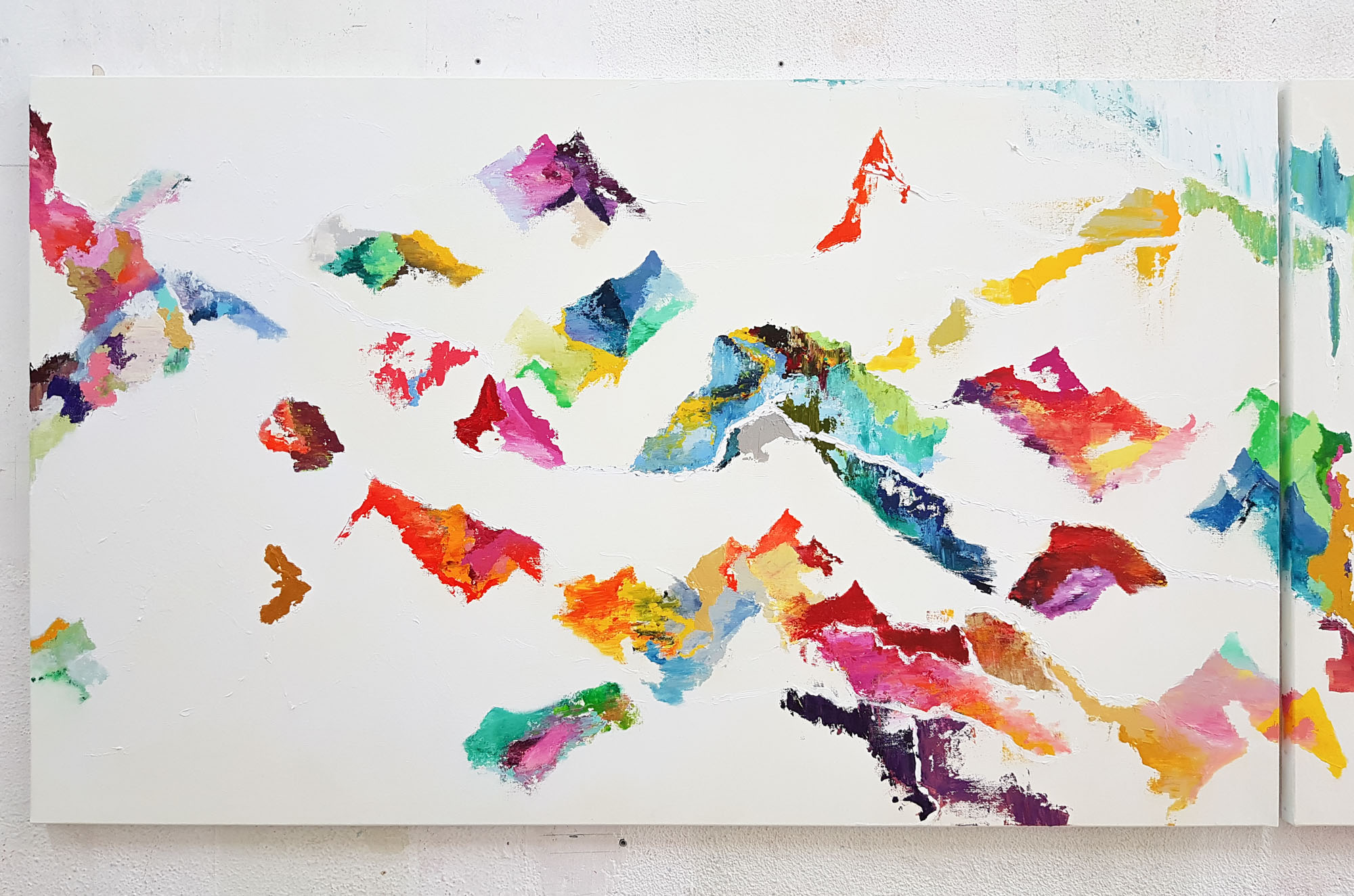
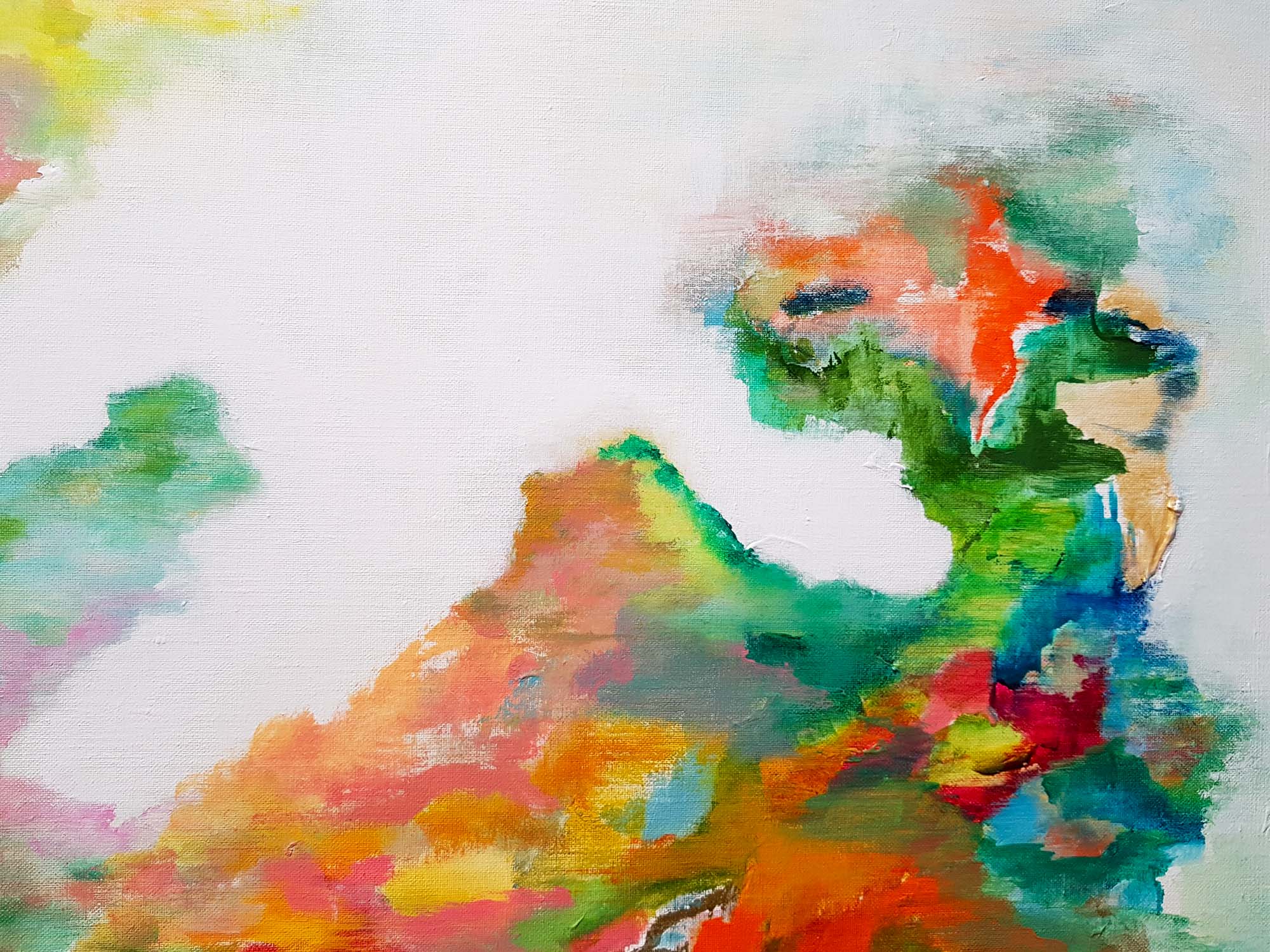
In these paintings, geometric architectural forms combine with the free forms of the landscape, colors vibrate, air circulates, lines guide the eye, and space is in motion.
Like a novelist, I visualize, imagine, and translate abstract worlds. Using city maps, maps, and panoramas, I wander in front of my canvas and create paths as if I were physically discovering these fictional spaces.